- 1. Winchester Mountain Trail: A Guide to Hiking to Winchester Mountain
- 2. Twin Lakes Basin: Gateway to Hiking Winchester Lookout Washington
- 3. High Pass Trail: Scenic Hikes Mount Baker Area
- 4. Yellow Aster Butte Trail
- 5. Hannegan Pass Trail
- 6. Park Butte Lookout Trail
- 7. Skyline Divide Trail
- 8. Goat Mountain Trail
- 9. Excelsior Pass Trail
- 10. Church Mountain Trail
- Hiker’s Guide: Planning Your Trip to Winchester Mountain
- Final Thoughts
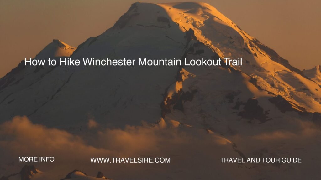
A Guide to Hiking to Winchester Mountain has become one of the most sought-after alpine adventures in Washington’s North Cascades. Perched at 6,521 feet, the Winchester Lookout offers panoramic views of Mount Baker, Mount Shuksan, and the rugged Canadian border peaks. It’s no surprise that alpine hikes like this contribute to the over 10 million annual visitors exploring Washington’s wilderness areas.
Read More About Hiking
What makes this hike so popular? It’s a moderate trek that rewards adventurers with unbeatable views, a historic fire lookout, and peaceful alpine scenery. Whether you’re a seasoned hiker or a weekend wanderer, A Guide to Hiking to Winchester Mountain is your gateway to one of the most scenic high-elevation hikes near Mount Baker. Read on to discover trail details, hiking tips, and how to make the most of your journey.
1. Winchester Mountain Trail: A Guide to Hiking to Winchester Mountain
Trail Overview
- Distance: 3.4 miles round trip
- Elevation Gain: 1,300 feet
- Difficulty: Moderate
Key Highlights
- Historic fire lookout at the summit
- 360-degree views of Mt. Baker, Mt. Shuksan, and Canadian peaks
- Wildflowers and alpine lakes in summer
Accessibility
- Trailhead: Twin Lakes Trailhead
- Road Conditions: Rough Forest Service Road; high-clearance vehicle recommended
- Parking: Limited at Twin Lakes
Pros
- Short yet rewarding hike
- Scenic photo opportunities
- Ideal for sunrise or sunset
Cons
- Road access can be difficult
- Popular, especially on weekends
The Winchester Mountain trail map is straightforward, following a well-defined path with some switchbacks before reaching the summit. Hikers should download offline maps due to limited service.
2. Twin Lakes Basin: Gateway to Hiking Winchester Lookout Washington
Trail Overview
- Distance: Varies (exploration-based)
- Elevation Gain: Minimal in basin
- Difficulty: Easy to moderate
Key Highlights
- Lakeside camping and fishing
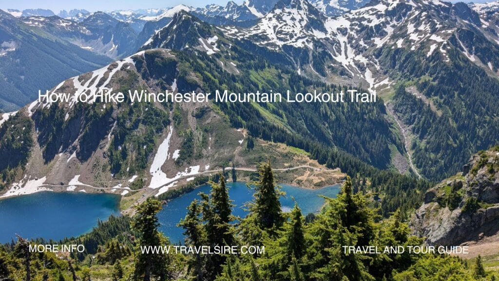
- Snow-capped peaks reflecting on crystal-clear water
- Alpine meadows bursting with wildflowers in July and August
Accessibility
- Same trailhead as Winchester Mountain
- Vault toilets and dispersed camping available
Pros
- Ideal for overnight backpackers
- Family-friendly base for exploration
Cons
- Limited facilities
- Mosquitoes in early summer
This spot is perfect for those who want to combine hiking and relaxation. Winchester Mountain backpacking tips: arrive early to secure a site, bring bear-proof containers, and pack warm layers even in summer.
3. High Pass Trail: Scenic Hikes Mount Baker Area
Trail Overview
- Distance: 6.2 miles round trip
- Elevation Gain: 1,800 feet
- Difficulty: Moderate to difficult
Key Highlights
- Breathtaking alpine vistas
- Access to open ridgelines and wildflower meadows
- Less crowded than Winchester Mountain
Accessibility
- Shared trailhead at Twin Lakes
- Rough road access
Pros
- Solitude and serenity
- Stunning summer blooms
Cons
- Steeper sections
- Snow lingers into early July
This is one of the most scenic hikes near Twin Lakes Washington, offering a peaceful alternative to the busier Winchester summit.
4. Yellow Aster Butte Trail
Trail Overview
- Distance: 7.5 miles round trip
- Elevation Gain: 2,400 feet
- Difficulty: Challenging
Key Highlights
- Ridge views and multiple alpine tarns
- Brilliant autumn foliage in late September
Accessibility
- Tomyhoi Lake Trailhead
- Requires high-clearance vehicle
Pros
- Colorful landscapes
- Ideal for photography
Cons
- Strenuous climb
- Limited camping
While not part of A Guide to Hiking to Winchester Mountain, this trail is a nearby gem for those seeking a longer adventure.
5. Hannegan Pass Trail
Trail Overview
- Distance: 10.4 miles round trip
- Elevation Gain: 2,000 feet
- Difficulty: Moderate
Key Highlights
- Glacier views and waterfalls
- Gateway to Copper Ridge and Mount Ruth
Accessibility
- Paved/gravel road to trailhead
- Ample parking
Pros
- Backpacking opportunities
- Well-maintained trail
Cons
- Can be buggy in early summer
- Long day hike for some
This trail is a great warm-up for those planning North Cascades fire lookout hikes like Winchester.
6. Park Butte Lookout Trail
Trail Overview
- Distance: 7.5 miles round trip
- Elevation Gain: 2,200 feet
- Difficulty: Moderate
Key Highlights
- Historic fire lookout
- Close-up views of Mount Baker
Accessibility
- Schreiber’s Meadow Trailhead
- Family-friendly campground nearby
Pros
- Great alternative lookout hike
- Gorgeous meadows and streams
Cons
- Popular in summer
- Footbridge crossings can be slippery
This trail embodies the best of Washington state alpine hikes.
7. Skyline Divide Trail
Trail Overview
- Distance: 9 miles round trip
- Elevation Gain: 2,500 feet
- Difficulty: Moderate to difficult
Key Highlights
- Mount Baker panorama
- Ridge walk with endless views
Accessibility
- Steep forest road access
- Limited parking
Pros
- Iconic sunset spot
- Ideal for experienced hikers
Cons
- Elevation gain can be tough
- Weather changes quickly
8. Goat Mountain Trail
Trail Overview
- Distance: 8.2 miles round trip
- Elevation Gain: 3,000 feet
- Difficulty: Challenging
Key Highlights
- Glacial valley views
- Trail hugs rugged ridgelines
Accessibility
- Silver Fir Campground nearby
- No water along trail
Pros
- Quiet and secluded
- Great workout
Cons
- Steep and exposed
- Requires preparation
9. Excelsior Pass Trail
Trail Overview
- Distance: 9 miles round trip
- Elevation Gain: 3,500 feet
- Difficulty: Strenuous
Key Highlights
- Wildflower meadows
- 360-degree views of Baker and Shuksan
Accessibility
- Highway 542 trailhead
- Trail can be muddy after rain
Pros
- Vibrant colors mid-summer
- Less trafficked
Cons
- Demanding for beginners
- Seasonal access
10. Church Mountain Trail
Trail Overview
- Distance: 8.4 miles round trip
- Elevation Gain: 3,100 feet
- Difficulty: Challenging
Key Highlights
- Craggy summit ridge
- Late-season snowfields
Accessibility
- Steep drive to trailhead
- Limited facilities
Pros
- Alpine drama
- Incredible summit reward
Cons
- Not ideal for kids
- Snow persists late into the year
- WeatherTec system’s welded corners and inverted seams keep water from getting in

Hiker’s Guide: Planning Your Trip to Winchester Mountain
Recap
From the moderate Winchester summit trail to tougher routes like Goat Mountain, this region offers hikes for every experience level. The best time to hike Winchester Mountain is between mid-July and late September when the trail is snow-free and the wildflowers are in full bloom.
Top Tips for A Guide to Hiking to Winchester Mountain
- Start Early: Beat the crowds and catch stunning morning light.
- Essential Gear: Bring layers, water, sunscreen, a GPS app, and snacks.
- Trail Safety: Check for fire bans, trail conditions, and always leave a trip plan.
- Trailhead Access: The road to the Winchester Mountain trailhead is rough—use a high-clearance vehicle.
- Respect Nature: Follow Leave No Trace principles—pack out all trash and avoid trampling wildflowers.
Final Thoughts
A Guide to Hiking to Winchester Mountain invites you into the heart of the North Cascades, where alpine serenity meets panoramic grandeur. Whether you’re heading up to the iconic lookout or exploring nearby trails, the experience is bound to be unforgettable.
📸 Snap a photo from the summit and tag #WinchesterMountainHike to share your adventure.
Ready to hit the trail? Bookmark this guide and start planning your escape to one of Washington’s most scenic destinations.


